
Soil maps provide context, not a repair prescription
USDA Web Soil Survey can help research mapped soil units around an area. UF/IFAS explains that urban development, fill, compaction, and water movement can make site conditions variable. Neither source tells a homeowner which repair to buy.
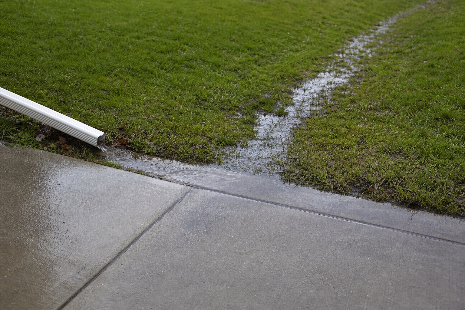
Observe drainage without assigning cause
Record downspouts, low areas, swales, drains, runoff paths, and where water collects. Marion County’s Stormwater Management page is the official starting point for county drainage information and contacts.
Confirm the actual jurisdiction
An Ocala mailing address does not necessarily establish City of Ocala jurisdiction. Work near a driveway connection, sidewalk, right-of-way, drainage feature, or utility deserves an address-specific check with the appropriate city, county, association, or utility.
Common questions
Questions worth asking
Does Marion County always require a permit for slab leveling?
This guide does not make that determination. Scope and location matter; ask the responsible building or right-of-way authority about the specific address and work.
Can a soil map identify why my slab moved?
No. A mapped soil unit is regional context and cannot diagnose fill, compaction, drainage, leakage, roots, or support beneath one slab.
Source shelf
Primary sources
Technical and local assertions on this page are bounded by these primary sources. Accessed July 30, 2026.
A starting point for property-area soil research, not a repair prescription.
Open official sourceFlorida urban-soil variability, fill, compaction, and drainage context.
Open official sourceGeneral compaction and water-movement context.
Open official sourceOfficial county permit and licensing portal.
Open official sourceOfficial county drainage and stormwater information.
Open official sourceNext steps